Geoscience · Geotechnical · Environmental

Welcome to Our Geoscience & Engineering Consultancy

Discover industry-leading expertise in geological surveying, geotechnical assessments, and scientific advisory tailored for critical infrastructure, energy, and construction projects across the United Kingdom.

30+ years
Combined UK geology & geotechnical experience
Infrastructure, Energy, Construction
Sector-focused, regulation-aligned advisory
End-to-end
From feasibility and site investigation to delivery support

Our Core Services

Explore specialist offerings including environmental impact studies, subsurface modelling, site investigation, and geotechnical consultation designed to de-risk complex schemes.

Geological & Geotechnical

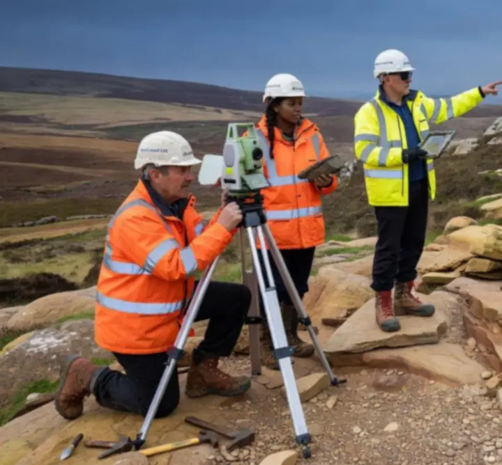
Geological Surveying & Geotechnical Assessment

Robust ground models for design, risk and procurement decisions.

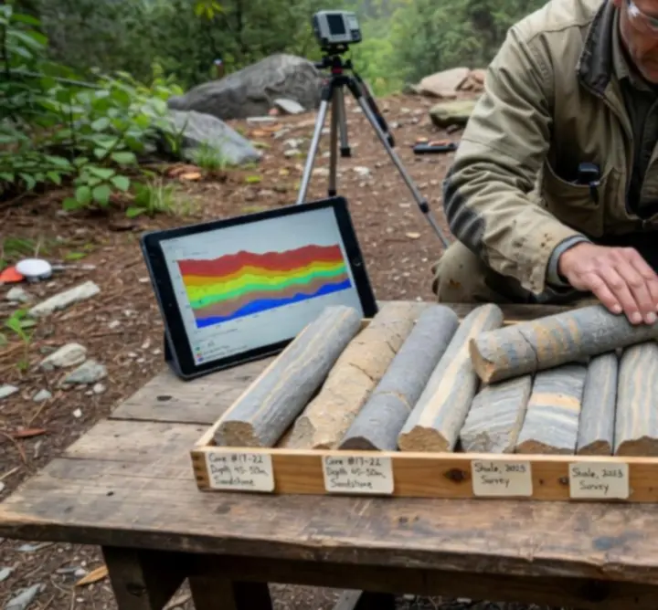
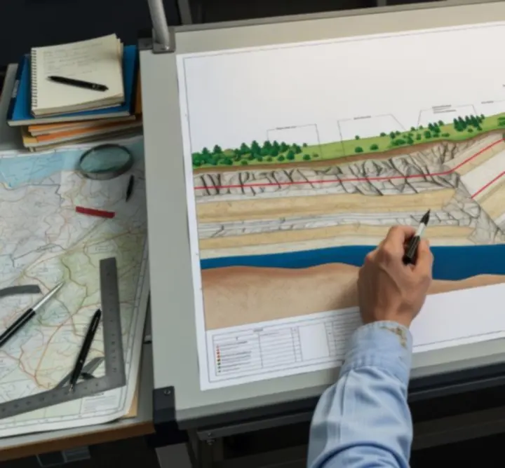
  • Detailed geological and geomorphological mapping
  • Geotechnical desk studies and ground risk registers
  • Foundation and earthworks design parameters
  • Borehole logging, in-situ testing interpretation
Explore geotechnical services
Environmental

Environmental Impact & Site Investigation

Evidence-led assessments aligned with UK and EU regulatory frameworks.

  • Environmental Impact Studies (EIA inputs)
  • Contaminated land and hydrogeological assessments
  • Phase 1 & Phase 2 site investigations
  • Regulatory liaison and technical reporting
Our assessment methodology
Modelling & Advisory

Subsurface Modelling & Scientific Advisory

Decision-grade models and independent technical review.

  • 3D subsurface and ground-conditions modelling
  • Rock mass characterisation and discontinuity analysis
  • Independent technical review and due diligence
  • Expert witness and strategic advisory support
View our technical domains
Rock core samples and digital terrain mapping used for subsurface interpretation

Technical Rigor in Action

See our team conducting fieldwork, collecting and analyzing rock core samples, and employing advanced mapping technologies to provide defensible, auditable outputs.

Fieldwork & Logging

From reconnaissance walkovers to detailed exploratory hole supervision, our geoscientists capture high-resolution data calibrated against British Standards and project specifications.

  • Core logging and photo records
  • Discontinuity and rock mass characterisation
  • In-situ testing oversight

Digital Mapping & Modelling

We integrate LiDAR, topographic data, and historical records into coherent ground models, supporting option selection and detailed design.

  • GIS-based terrain and hazard mapping
  • 3D ground models for complex interfaces
  • Interactive outputs for design teams

Meet Our Experts

Learn about our credentialed consultants whose experience ensures accurate insights and reliable project outcomes across infrastructure, energy, and construction portfolios.

  • Chartered engineering geologists and geotechnical engineers with UK and international project experience.
  • Specialists in UK stratigraphy, structural geology, and geohazards affecting transport, utilities, and energy corridors.
  • Practitioners experienced in planning, EIA, CDM, and major project assurance frameworks.
Geoscience consultant analysing subsurface data and technical diagrams

Why Choose PIRAN GEOSCIENCE LTD?

We provide scientific credibility, regulatory compliance, and bespoke solutions backed by decades of experience in UK geology and engineering.

Scientific Credibility

Our advice is grounded in robust data, transparent assumptions, and clearly stated uncertainties, enabling clients to take proportionate, defensible decisions.

Regulatory Alignment

We work with UK planning policy, regulator expectations, and industry codes of practice to streamline approvals and reduce iteration.

Project-Focused Delivery

Outputs are tailored to design teams, contractors, and asset owners, ensuring geoscience insight directly informs programme, cost, and safety.

Compliance and Standards: Our work is delivered in line with applicable British Standards and recognised industry guidance, giving clients confidence in both methodology and outcome.

Case Studies

Review selected success stories showcasing our impact on complex infrastructure and energy projects, from early feasibility through to delivery support.

Linear Infrastructure in Complex Ground

Integrating geological mapping, subsurface modelling, and risk assessment to optimise route selection and earthworks strategy.

  • Developed a corridor-scale ground model for a multi-kilometre transport route.
  • Identified key geohazards including landslide-prone slopes and variable rockhead.
  • Informed design decisions that reduced ground risk and anticipated construction change.
Browse project portfolio
Technical cross-section diagram showing subsurface geology for an infrastructure case study

Client Testimonials

Hear from industry clients about our professionalism, technical precision, and value-driven service.

“PIRAN GEOSCIENCE LTD provided a clear, technically robust ground model that became the reference point for the entire design team. Their reporting was concise, defensible, and aligned with our governance requirements.”

Technical Director, UK Infrastructure Client

“Their geotechnical advice enabled us to address ground risk proactively, reducing both programme uncertainty and potential claims. Communication with designers and contractors was exemplary.”

Project Manager, Energy Sector Contractor

Frequently Asked Questions

Find answers to common queries regarding project scope, timelines, and our consultancy process.

Downloadable Resources

Access detailed brochures, service overviews, and white papers to support your procurement process and internal approvals.

  • Service Overview Briefings – concise summaries of our core service lines for inclusion in procurement packs.
  • Technical White Papers – deeper dives into topics such as ground risk management, subsurface modelling, and investigation design.
  • Project Profiles – short case overviews illustrating our role, approach, and outcomes for reference checks.

To request tailored resource packs or standard capability statements, please contact us and we will provide documentation aligned to your specific project or framework.

Contact & Booking

Quickly reach our team via a streamlined form, live chat, or book a consultation for tailored project advice.

PIRAN GEOSCIENCE LTD

4 The Old Nursery
Malpas, Truro
England, TR1 1GS

Phone: +44 73 508 16275

Email: [email protected]

For urgent enquiries or time-critical advice, please call the number above. For scoped commissions, feel free to attach relevant documentation when you contact us via the form on the Contact page.

Go to full contact page

Request an Initial Consultation

Share a brief outline of your project and a member of our team will respond with next steps.

Please include project type, location, and any key programme constraints.

By submitting this form you agree that we may contact you in relation to your enquiry. For details see our Privacy Policy and Cookie Policy.

Live chat: If live chat is available, an icon will appear in the lower corner of your screen during business hours.