Geoscience
Geological Surveying
Comprehensive geological intelligence for confident project planning.
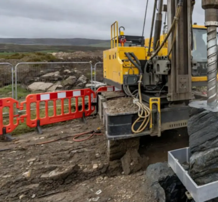
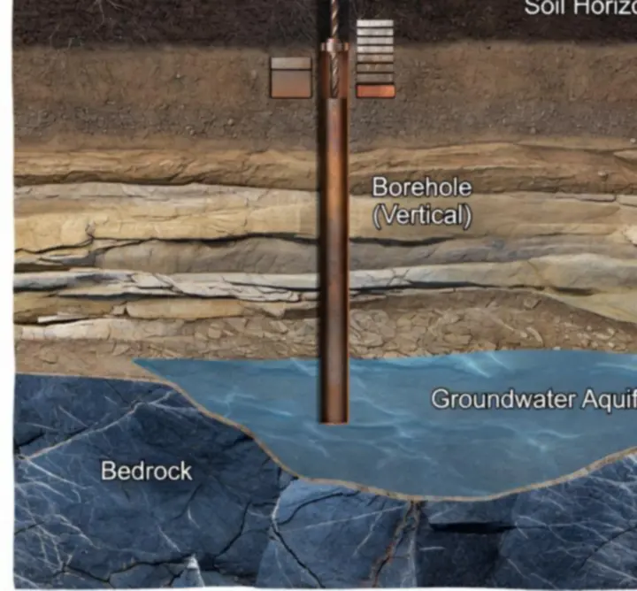
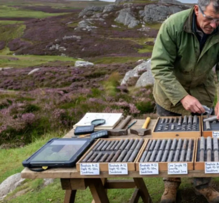
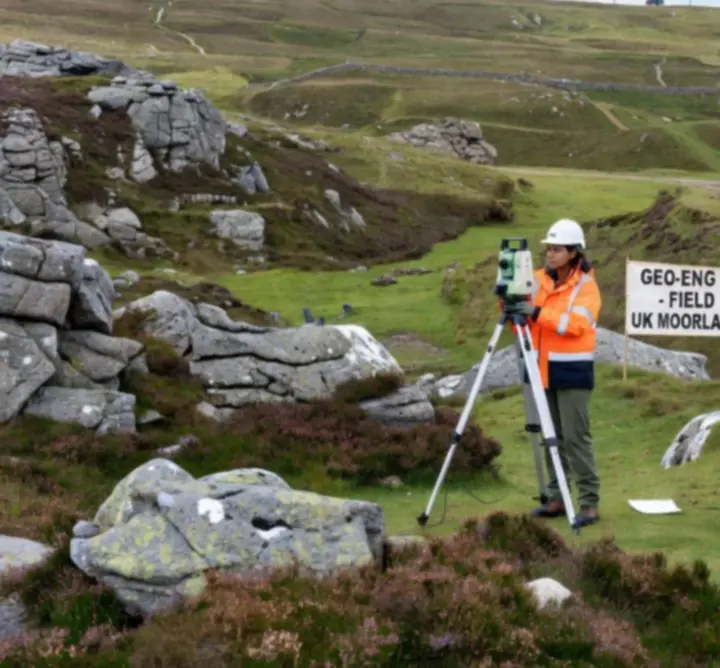
We deliver detailed geological surveying across the UK, integrating outcrop mapping, borehole logging, remote sensing, and legacy data review to build a defensible ground model for every site.
- Site reconnaissance and structural geology mapping
- Geological risk analysis, including faulting, karst, and landslip
- Stratigraphy interpretation and correlations across linear routes
- Resource appraisal for aggregates and construction materials
- Data packs aligned with UK planning and permitting requirements